Riding the O&W Rail Trail
The City of Kingston sits right next to the Catskill Mountains along the Hudson River. But it also sits at the end of two river valleys that run south to north. These two waterways: the Roundout Creek and the Wallkill River, have their confluence just south of Kingston. From that point north, the Roundout Creek becomes a navigable waterway which leads to the small harbor that made Kingston a hub of industrial activity in the Mid-Hudson Valley.
The Roundout Valley has long been a transportation corridor. First it was the Delaware and Hudson Canal that once transported coal between northeast Pennsylvania and the Hudson River. Later the canal was replaced by the New York, Ontario and Western Railway (the O&W). And now that railroad alignment is another great bike path for you to explore. Riding this trail can be a great component of any of our Hudson Valley bike tours. You could also combine it with our Catskill Scenic Trail tour and make a weekend out of it.
The O&W is a quiet, peaceful ride. But it is still a work in progress in many ways. There are a number of gaps in the trail, and some parts of the ride are kind of rough. So you will definitely want to ride a hybrid bike or a mountain bike if you want to experience any of the rough parts. There is a good map showing the different segments (and gaps) on the trail’s official website. The map also shows a number of parking areas as well. You can also take public transit to parts of the O&W trail by using Route EU of the Ulster County Area Transit bus system. These buses are equipped with bike racks and can help you ride this route one-way, and take the bus back to your start point.
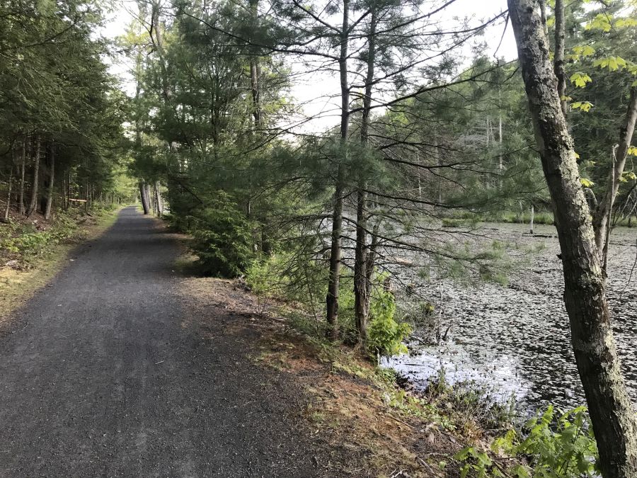
Perhaps the roughest section of the trail is in Kingston where the O&W met the other lines that made Kingson a regional rail hub. The trail begins in the parking lot of the Super 8 hotel where the O&W once joined the tracks that are still in use by the Catskill Mountain Railroad. Riding the trail in this area is basically riding on bumpy grass, and it can be tough at times. If you want to skip this area, you can start instead at the parking lot just off of Route 209 in Hurley. From here south, the trail conditions begin to get better and it is a nice quiet ride through beautiful woods with great scenery. Although there are a couple of rough spots on the trail here and there. Once you reach High Falls, you will begin to ride along the Roundout Creek where you can see remnants of both the D&H Canal as well as the O&W Railroad.
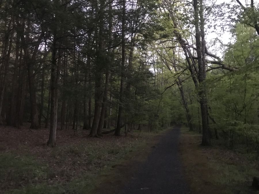
Typical trail conditions on the O&W Rail Trail
There aren’t a lot of services or stores immediately next to the trail. So you’ll want to pack some food to bring with you. If you need to stop for supplies, your options are basically in Hurley, near the parking lot at the north end, and at Big E’s deli where the trail crosses Cottekill Road. There are also some shops in High Falls if you get off the trail and cross the Roundout Creek.
This section of trail is more or less continuous until you reach the hamlet of Accord, where the trail peters out in a lumberyard. From here you will need to continue along Lucas Turnpike and Route 209 if you want to keep going. These roads can be kind of busy and aren’t the greatest for riding, but more advanced riders should be OK.
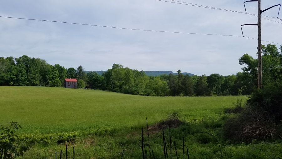
A view of the Shawangunk Ridge from the O&W Trail
When you reach the center of Accord, you will need to go through town and cross the Roundout Creek. There aren’t that many stores or services here, despite it being the center of town. You will need find your way over to Rochester Town Park by taking County Road 27 to get to the next segment of trail. But you may have to ride through the park for a while until you can figure out where the trail is. Just look for the dump trucks and the trail should be behind them. The trail is kind of rough here again, and it only goes for 4.3 miles until the next gap in the trail in Kerhonkson. But you will ride along the Roundout Creek the entire time with great views of the Shawangunk Ridge.
In Kerhonkson, if you want to keep riding, you’ll need to use Berme Road for 3.4 miles and it will take you to one last piece of trail – 1.2 miles in Ellenville. But it’s still a nice ride! Kerhonskon also has a couple of restaurants, a brewery and a resort hotel making it a nice place to end your ride as well.

