Cycling the Véloroute des Bleuets in Québec – Part Four: Riding the Véloroute du Fjord du Saguenay
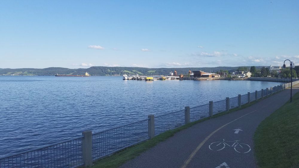 If you are going to make the effort to travel all the way up to Lac Saint-Jean to ride the Véloroute des Bleuets (as detailed in the first, second, and third articles in this four-part series) it probably makes sense to also ride the adjacent bike route system known as the Véloroute du Fjord du Saguenay. This beautiful bike route is connected to the Véloroute des Bleuets by the Véloroute de Horst de Kénogami. Logistically, it also provides an opportunity to connect with a scenic railroad (that carries bikes) so that you can get back to Quebec City where connections are easier to get back home.
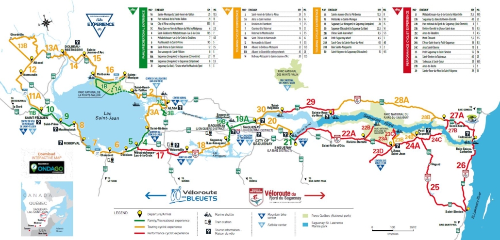
While the entire Véloroute encircles the fjord with a number of side routes to various towns or parks, most riders probably do not ride the entire thing. For example, most of the route is nowhere near the actual fjord (which would be difficult to ride along anyway due its steepness). In order to actually see the fjord, you would have to go sharply downhill from the route to the fjord’s various access points (and then go back up again). To remedy this, a ferry service is offered that travels the entire length of the fjord. So after studying the map, I determined that I would use the ferry for a portion of the distance. My plan also involved riding on the route only on one side, instead of making the complete circle. I didn’t have enough time to do the whole circuit, plus I needed to get to La Malbaie where I could catch the scenic railroad to Quebec City. The southern half of the route took me to Saint-Siméon, within 33 km of La Malbaie.
A full map of the Véloroute du Fjord du Saguenay can be found in the guidebook for the Véloroute des Bleuets on page 2. As we discovered in riding around Lac Saint-Jean, the map shows routes colored green, yellow and red. Green means off-road bike paths. Yellow means riding along roads, or bike paths with hills. But once you cross over to the Véloroute du Fjord du Saguenay, you are dealing with lots of red. Red means you are riding on roads…with hills. Steep, long hills.
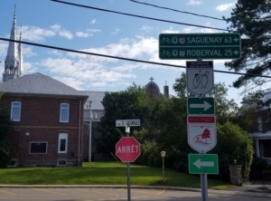
Signs direct you to the Véloroute de Horst de Kénogami towards Saguenay.
When we left off in Part 3, I had just had a relaxing swim at a beautiful beach in Métabetchouan-Lac-à-la-Croix where I was serenaded by a guitar strumming musician at a beachfront restaurant. I changed back into my cycling clothes and off I went on the Véloroute de Horst de Kénogami, riding 18 km to Hébertville where I knew there would be a municipal campground by a lake. The guidebook indicated that there were few restaurants near the campground, so I resolved to stop at the supermarket in Hébertville to buy food for the next day and also check out one of their two restaurants for dinner.
The first segment of the Véloroute de Horst de Kénogami was marked red, and it did not disappoint. There was plenty of uphill as I headed away from the lake and towards the foothills of the Laurentian Mountains. But the views from the road were spectacular and the hills were worth the effort. Finally, I arrived in Hébertville and I searched around for the tw0 restaurants. I picked the one that was not associated with a gas station, called Chez Charly, a casse-croûte on the edge of town. If you are familiar with Where’s Waldo books, this restaurant was dedicated to the French version “Où Est Charlie” and there were pictures of Waldo (or Charlie) everywhere. The food was very good, and the service was super friendly.
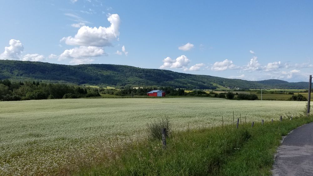
Beautiful scenes of farms and mountains await you on the Véloroute de Horst de Kénogami.
When I arrived at the municipal campground in Hébertville, it was in a beautiful spot along a lake. But since it was after 6 p.m., the office was closed. I had no idea what to do. So I found a really nice campsite right on the lake and I set up my tent, hoping nobody else had reserved it for the evening. Lakefront camping sites seemed to be popular with other cyclists. I saw two families who were bike touring set up here with their tents. I tried going for a swim in the lake, but it was super shallow. So I gave up on swimming and just sat on the dock and read a book.
The next morning the campground office was open, so I paid for my site and took off. I would need to make it across the foothills to get to the City of Saguenay, which is the hub of the entire Lac Saint-Jean and Fjord du Saguenay region. The following day I would catch the ferry and cruise the fjord part way with my bike. So I ate the breakfast I bought the night before and I got going.
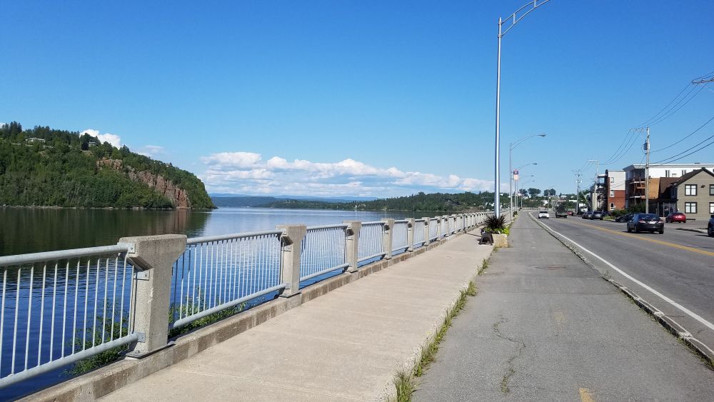
The City of Saguenay has a robust bike path network, often taking you right along the river, which eventually flows into the Saguenay Fjord.
After a lot of on-road riding through the higher altitudes of the Véloroute de Horst de Kénogami, I descended into the City of Saguenay which was a city much larger than I had anticipated. Saguenay was made up of three sectors: the Jonquière District (the final destination of the train I took in Part 3), the Chicoutimi District and La Baie District. Each district was connected via a robust urban bike route network that took me right through the industrial hub of the city: a giant aluminum smelter that was the major source of employment in the region.
Saguenay was the main stop for big city conveniences on this ride. They had ATMs for every bank. Plus there was an awesome chocolate shop that sold ice cream, candies….and erotic shaped chocolates. While I passed on the chocolate, I enjoyed my ice cream in a river front park next to a fountain (made of aluminum) that featured porpoises joyously playing. I would later learn that this fountain was constructed to commemorate the loss of the porpoises…due to a government program many years ago that incentivized their slaughter out of fear they were endangering the cod industry. Well, that sucks!
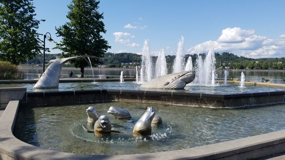
This lovely fountain of porpoises and whales is the centerpiece of a vibrant waterfront plaza in the Chicoutimi sector of Saguenay.
After 84 km of riding, I ended in La Baie district of Saguenay. Misplaced signs again had me riding on a high traffic road I was not supposed to be on. But it was OK, once I got to La Baie and I saw the beauty of the Baie de Ha! Ha!, I no longer cared. The Fjord du Saguenay was beautiful. I sat there and I watched the giant bauxite ships come in with the ore that was destined for the aluminum smelter I had ridden past earlier. Then I bought some groceries and I headed to a super nice campground called Camping Au Jardin de Mon Père. (Camping in the garden of my father). Listed as the “only 5-star campground in Saguenay-Lac- Saint-Jean” I was curious to see what it would be like.
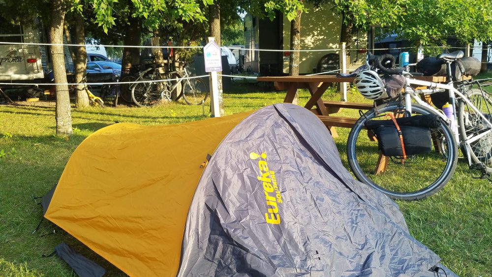
A special area marked “Bienvenue Cyclistes!” was reserved just for bikes at the Campground Au Jardin de Mon Père.
This campground was seriously nice. It had a pool, a restaurant, a store and a number of sites right along the one of the rivers that fed the bay. I stretched out and sat on a bench along the river enjoying the soothing sound of the rushing water….and then a loud freight train horn blared as a train passed on the other side of the river carrying bauxite from the bay to the smelter. Well, I guess it was good my campsite was not on the river! I went to the pool, had dinner at the restaurant and called it a night.
The next morning I headed out early, back to the dock on the Baie de Ha! Ha! to catch the ferry. I was really excited to catch this ferry because it would be the best way to see the fjord. Also, it would mean not having to ride up and down a number of serious hills.
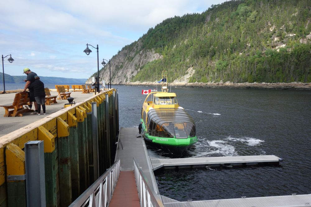
A delightful passenger ferry is the best way to see the Fjord du Saguenay. It will also save you from having to bike up some serious hills.
Because I was unsure about capacity on the ferry, I went through the effort of reserving a ferry ticket in advance. The ferry schedule was confusing. When I looked it up online I had a tough time figuring out the route of the ferry, and how it would take me down the fjord to a place where I could start riding again. So after a lot of research I pre-bought a ticket from La Baie to L’Anse-Saint-Jean, figuring that after I took the ferry ride, I would have the entire afternoon and evening to ride from L’Anse-Saint-Jean to Saint-Siméon where there was another campground.
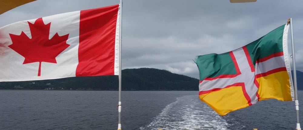
The flag of the Saguenay region flies next to the Canadian flag almost everywhere.
It turned out I did not have to worry about overbooking. I was the lone passenger on the ferry for the first part of the ride. So I had the boat to myself for about an hour. I got to ask the tour guide lots of questions about Saguenay and the fjord. The story of the region was best summed up by the flag I had been seeing throughout my journey. The bottom half of the flag was yellow for agriculture. The top half of the flag was green, for forestry. The flag was divided into quadrants by a silver cross, which stood for aluminum. The cross was outlined in red, for the blood of the people. The tour guide also told me that the region had been doing a lot to try to attract cruise ships to the fjord. The ferry dock that we left in La Baie was improved with government subsidies to meet cruise ship standards. Now about 60 cruise ships arrive every fall, when the foliage is exploding with color.
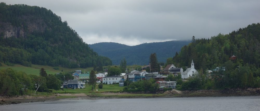
Sainte-Rose-du-Nord is a speck of a town in a very lovely setting along the fjord.
As the ferry moved east through the fjord, we stopped in the lovely town of Sainte-Rose-du-Nord and then later at a dock within the Parc National du Fjord-du-Sagueney, where we saw rock climbers scaling the fjord’s walls. They waved to us right before we passed a statue of the Virgin Mary on top of the bluffs overlooking the fjord. The boat stopped to play Ave Maria in gratitude to the Blessed Mother who watches over the boats in the fjord.
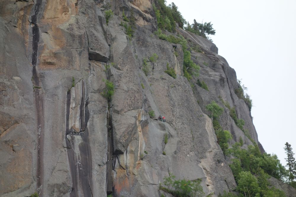
Can you spot the rock climbers? They are tiny specks on this huge rock face. It will take them 3 days to do the climb!
Afterwards we headed to our next port, L’Anse-Saint-Jean. When the boat arrived, we were greeted by live music at the dock as the boat unloaded. All of the other passengers would have a 2 hour break in L’Anse Saint-Jean to get lunch before getting back on the boat. But I had different plans. I would need to ride a grueling 78 km with 917 m of vertical elevation gain to make it to Saint-Siméon. There were very few services in between where I was and where I needed to go, so I had to get moving. I called ahead to make sure I had a campsite reserved for me. Also, I verified that there would be a restaurant in Saint-Siméon to get dinner when I arrived.
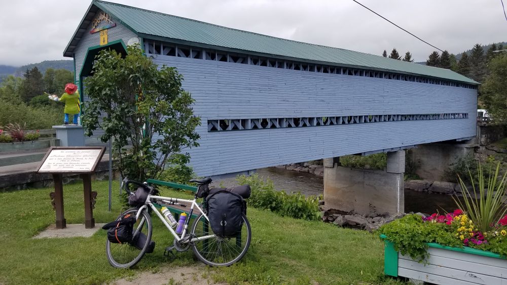
L’Anse-Saint-Jean has a covered bridge in the center of town.
Heading out of L’Anse-Saint-Jean the ride was no joke. There were hills I needed to conquer. But at the same time, the scenery was spectacular, and the road was quiet. I stopped in the small town of Petit-Saguenay to buy a late lunch and groceries at a convenience store. To my surprise, there was a roadside artisanal bakery in town, so I stopped inside and bought one of the pastries they still had left. It was amazing and it gave me energy for the next set of hills.
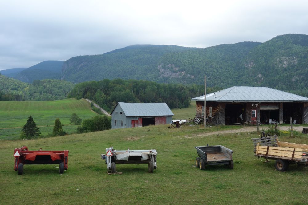
More of the typical farm and mountain scenery you will see from the road.
Back on the bike, I still had 55 km to go with 635 more meters more of climbing. So that pastry went a long way. Finally, I arrived at Saint-Siméon around dinner time. There was a great restaurant right in town. I ate dinner and then headed to a campground that was built right into the steep cliffs of the Saint Lawrence River. Once again, I enjoyed the campground pool and I lulled myself to sleep. The next morning, I checked out the observation deck at the campground to see if I could catch any whales frolicking in the Saint Lawrence (no luck).
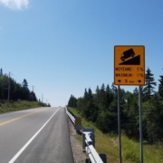
Get ready for hills!
For the final day of my ride, I needed to go 33 km from Saint-Siméon to La Malbaie to catch a scenic railroad to Quebec City. Riding along the Saint Lawrence River how hard could it be? Hard. Harder than I ever imagined. This was way tougher than any riding I ever experienced in the Hudson Valley. Imagine screaming down the steepest and longest of hills….only you have to go back up an equivalent level or steepness and length on the opposite side with logging trucks zooming past you. It was absolutely brutal. But at the same time, the scenery was beautiful, so that was a nice distraction. As I descended into la Malbaie, its valley looked like a soup bowl, filled with low hanging clouds. This was the hub of the Charlevoix region, and I would meet the Train de Charlevoix and experience its scenic journey as it took me south to Quebec City where I would meet my family.
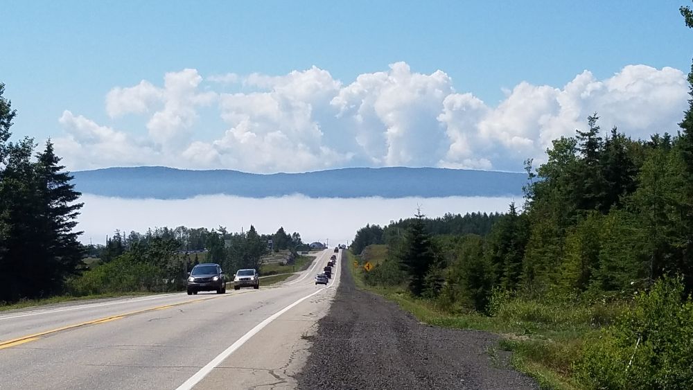
I was riding above the clouds until I got to La Malbaie where fog had settled into its narrow valley.
I rode through La Malbaie, a quaint town along the Saint Lawrence River, and I had time to get lunch before boarding the train. But once on the train (since I was still hungry) I was able to order great food and beer from the Charlevoix region, which made this super scenic train ride even more enjoyable.
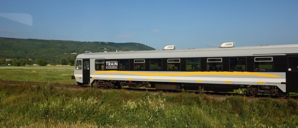
The Train de Charlevoix was a beautiful ride to Quebec City. It went right along the Saint Lawrence River.
The train ride was relaxing, but it required a transfer at Baie Saint-Paul where both the northbound and southbound passengers all had to switch trains to continue the journey. I ordered a second round of local refreshments, and by 6 p.m. the train had pulled into a station right next to Montmorency Falls. The ride was over. It was time to enjoy Quebec City with my family for a few days before driving back home to New York.
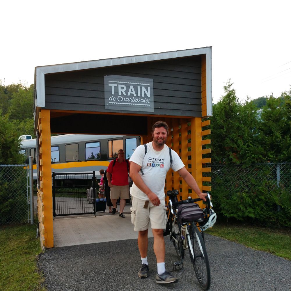
The train dropped me off right next to Montmorency Falls. My weeklong bike tour had just come to an end.
Want to see the other articles in this series? Check out:
Part One – A beautiful cycling route that is challenging to get to!
Part Two – Biking to Montreal from Burlington, Vermont – A Great 2-Day Ride!
Part Three – Riding Around Lac Saint-Jean
